Join us for a fantastic illustrated tour of ancient Tashkent and its surroundings — right here in Tazik News!
We’ll step inside the palace at Ming Urik, walk through Shashtepa, climb to the castle at Aktepa in Yunusabad and explore the streets of Kanka. We’ll see how these places were laid out and what remains of them
And at the end, a regular Tazik and something veeeery rare await you 🧡
The palace on Moshtabib Street
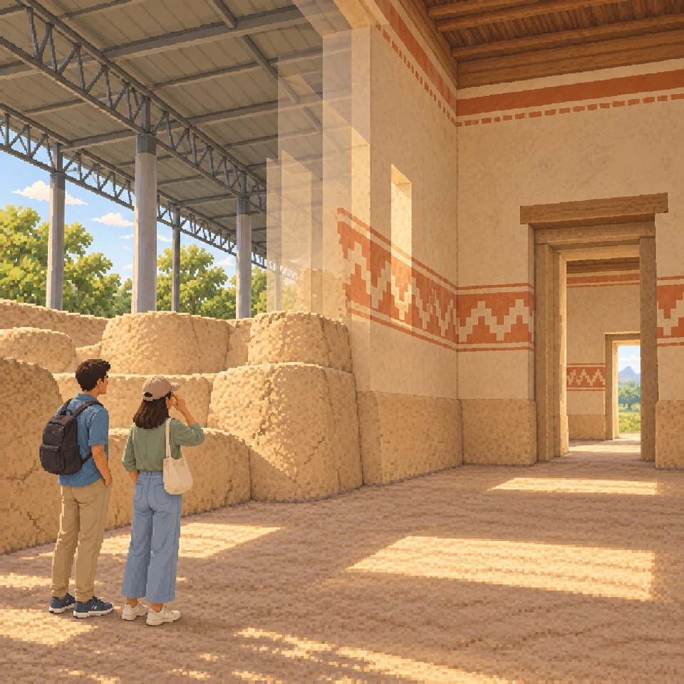
On Moshtabib Street, among residential buildings, stand the surviving walls of an ancient palace. Low and built of earth, they sit beneath a large protective roof. Ming Urik is easy to miss if you are expecting towers and imposing gates. Once you pick out the edges of rooms and the passages between them, though, the building begins to emerge from the uneven masonry. It had reception rooms and painted walls, and stood within a city of which only a small area survives.
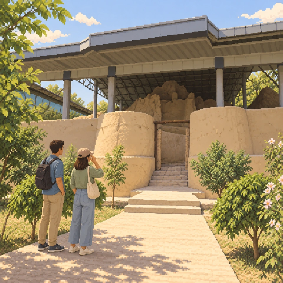
Ming Urik is at 31 Moshtabib Street. A settlement already existed here in the first centuries CE. In the early Middle Ages, a palace complex was built on the site, which researchers associate with the residence of the rulers of Chach. Its present name means “a thousand apricot trees” and comes from the orchards that grew here long after the ancient city.
Beneath the palace structures, an earlier building with a cross-shaped plan survives. Margarita Filanovich interpreted it as a sanctuary where fire was lit for worship, while Georgy Bogomolov and Svetlana Ilyasova considered it a residential building.
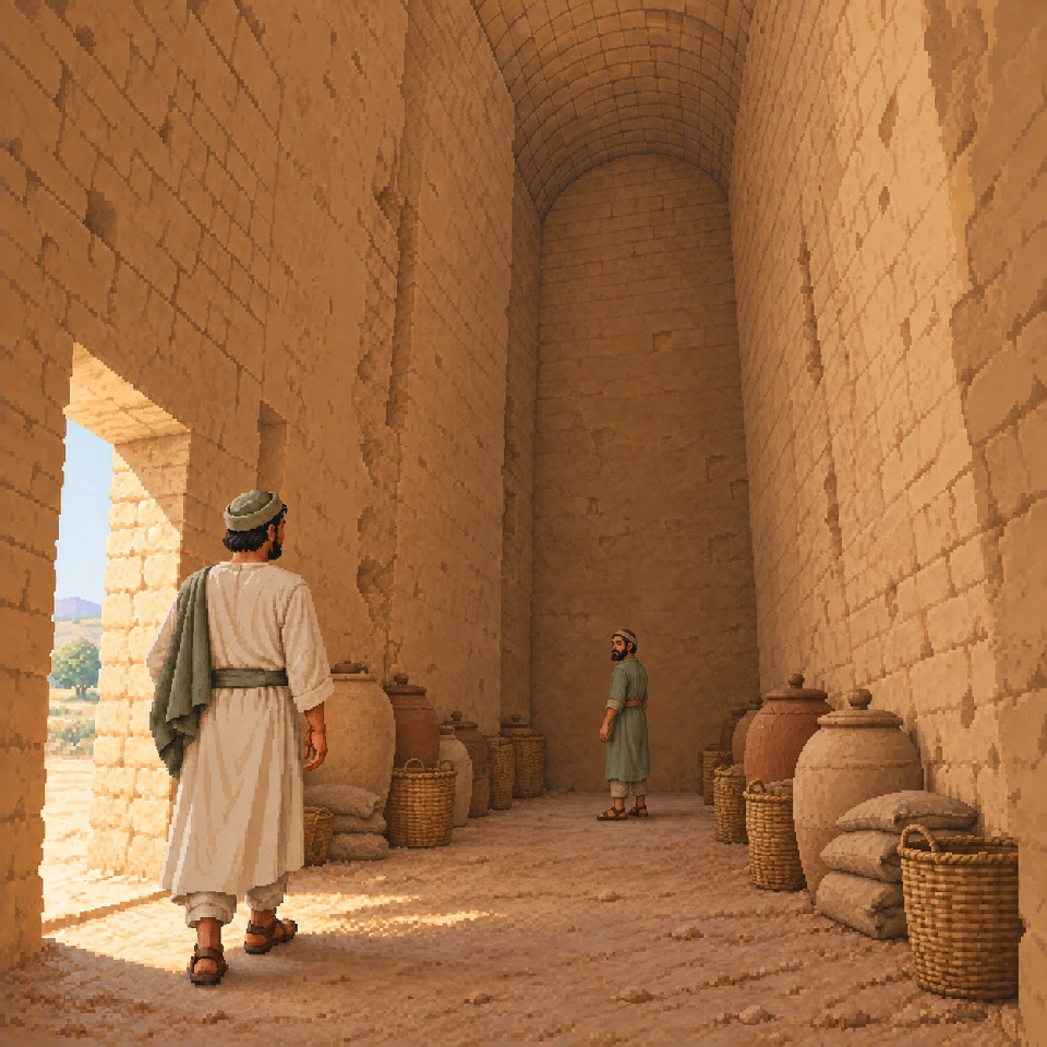
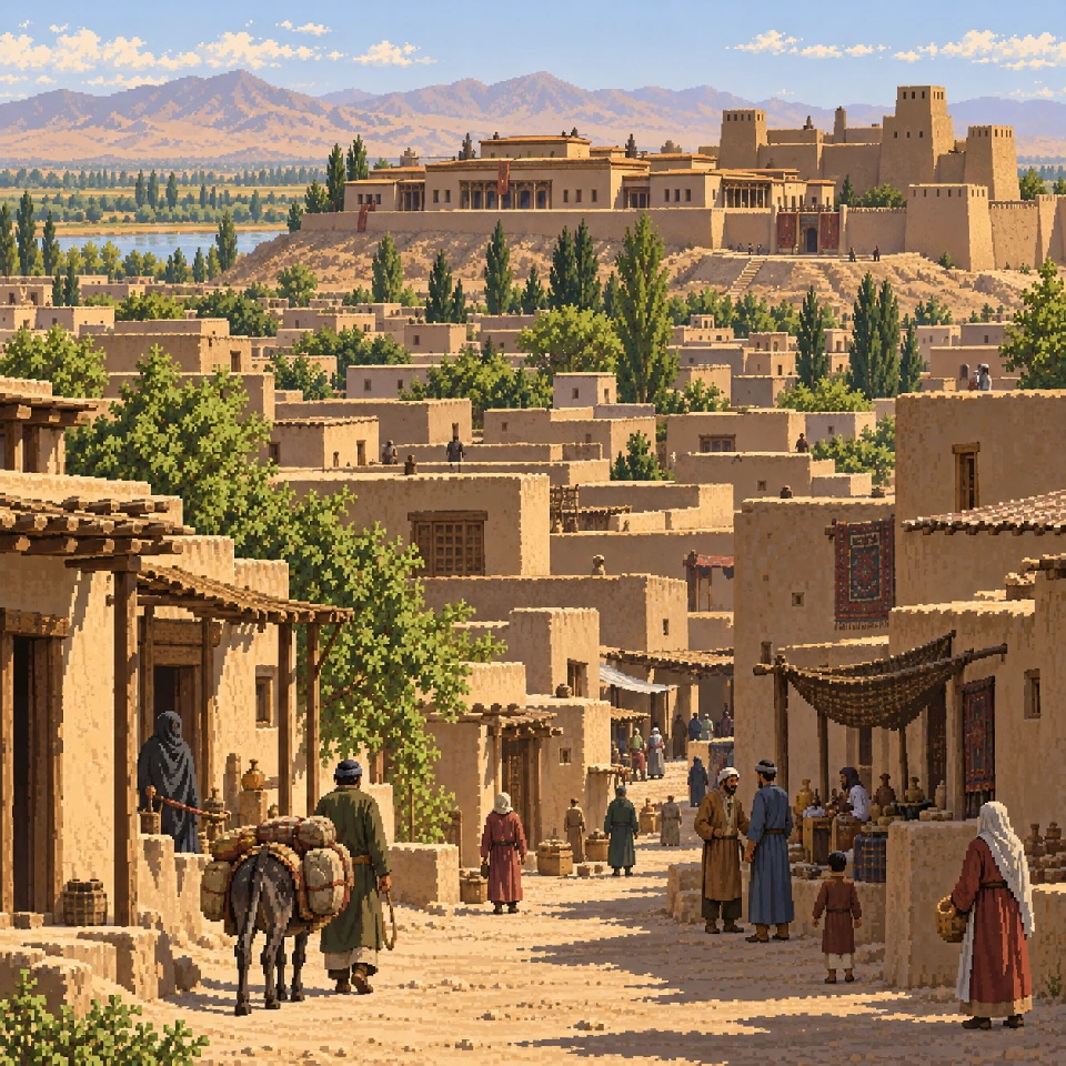
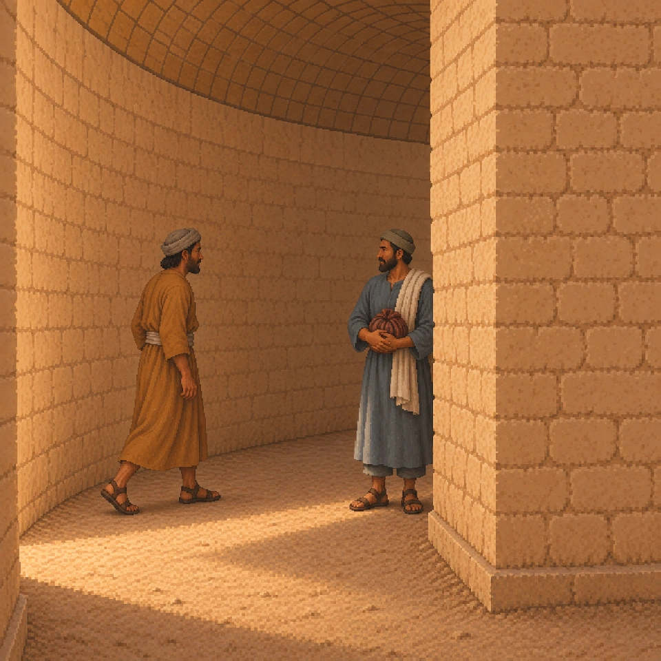
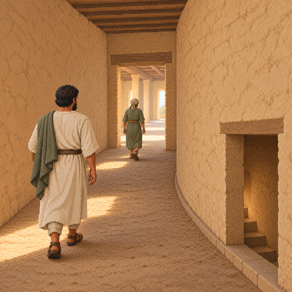
The early medieval palace had ceremonial halls, living quarters and storerooms. Broad corridors linked the halls and rooms, changing direction as they crossed the complex. The ceremonial area was separate from the service quarters: visitors were received in the halls, while other rooms were used for living and storing provisions. The palace adjoined the castle-citadel, a separately fortified part of the city.
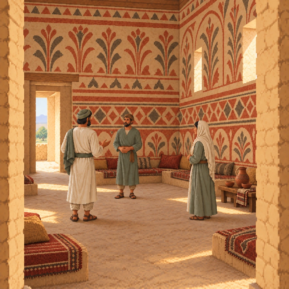
Archaeologists found traces of wall paintings. The earthen walls we see today therefore once looked quite different: their inner surfaces were finished and painted. Fragments of that finish tell us about the decoration, while the positions of the walls show how the rooms were connected. Less of the upper parts survives, so the palace is much easier to make out on a plan than in the uneven ground today.

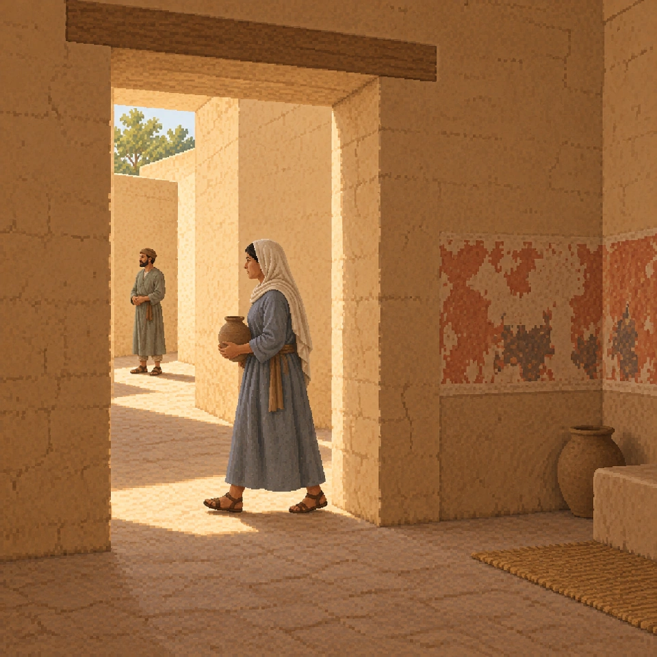
Researchers estimate the entire ancient settlement at around 35 hectares, roughly the size of fifty full-size football pitches. The museum site occupies only a small part of that former area. Beneath the roof, it is particularly easy to examine the building’s layout: follow the edge of a room, find a doorway and see how a passage connects several spaces.

The upper walls disappeared, while the lower sections lay buried for a long time. To understand why so little of the palace’s walls remains above ground, it helps to look at the material they were made from.
How walls became mounds
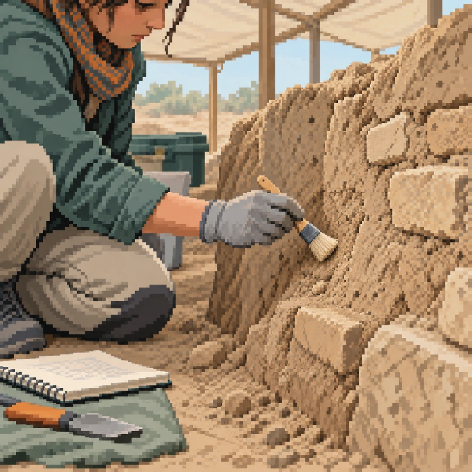
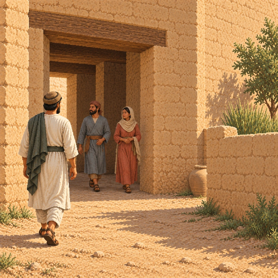
Earth was one of the main building materials in the Tashkent oasis. Builders used it for pakhsa, dense masses of compacted earth, and for sun-dried mud bricks. These bricks were not fired in a kiln: they hardened as they dried. Thick earthen walls heated up slowly in hot weather and helped retain warmth during the colder months.
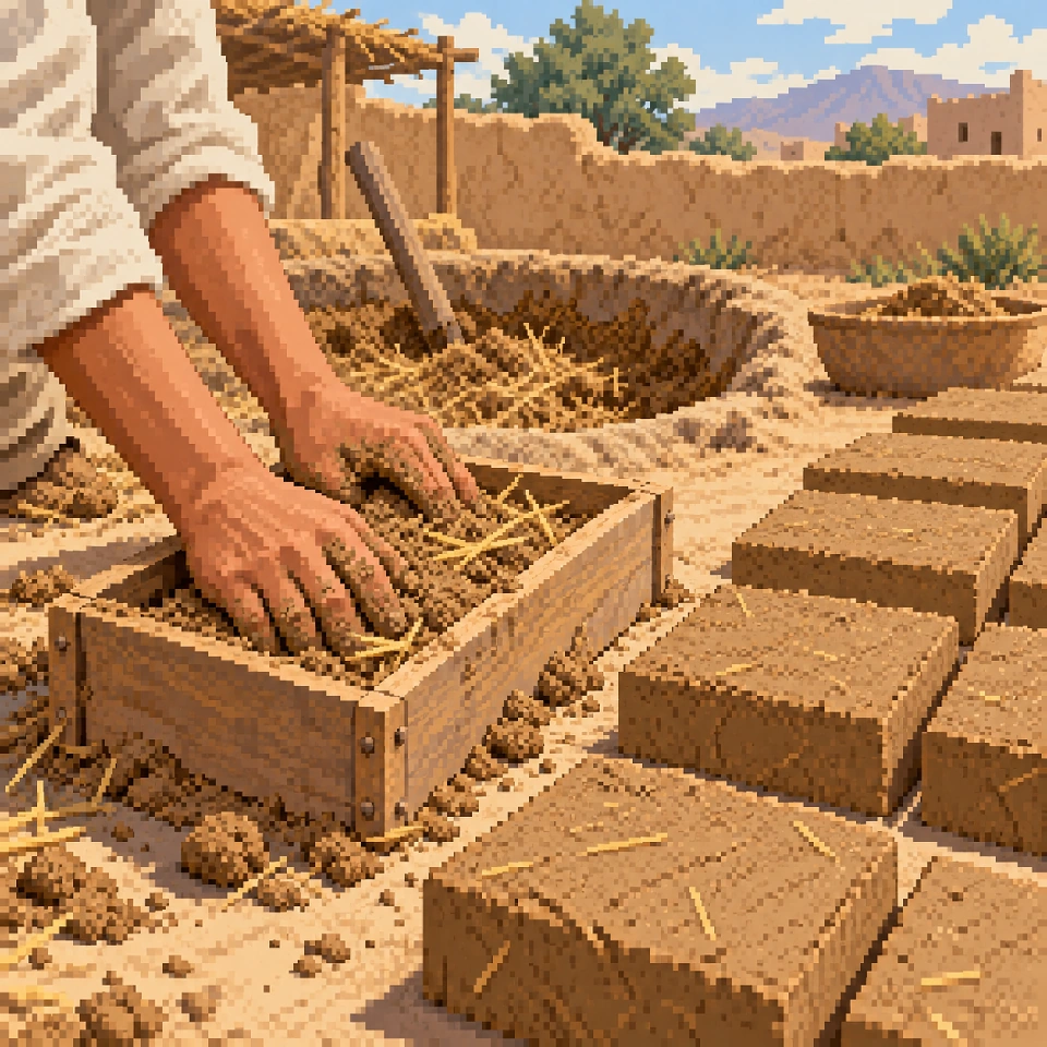
Houses like these needed regular maintenance. While they were occupied, people repaired the roofs, patched damage and kept water from washing away the masonry. Once a building was abandoned and its roof collapsed, rain could reach the walls. They crumbled into the rooms, and debris, dust and soil gradually filled the spaces where people had once walked.
Later, new buildings might rise on the same site. The old remains were levelled or covered with new floors, so the next building stood higher than its predecessor. Over the centuries, layers of construction and destruction accumulated. They formed a tepa — a mound — which is why the word appears in the names of so many archaeological sites.
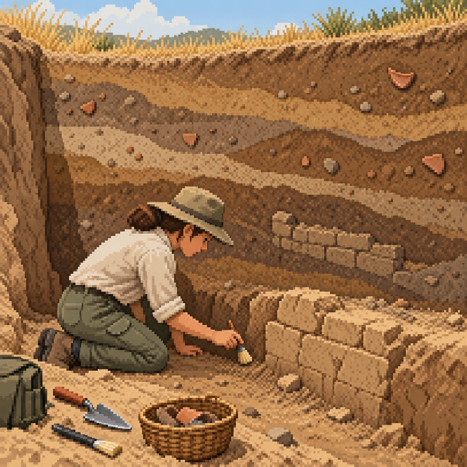
From the outside, a tepa may resemble a patch of uneven waste ground, while inside it preserves the bases of walls, floors, ovens and objects from several periods. An excavation exposes only part of these accumulated layers. Even a small area can be complicated: the wall of one building runs above a room in another, a later pit cuts through an earlier floor, and an old doorway has been bricked up.
After excavation, the earthen masonry needs protection again. Roofs, drainage and conservation coatings slow the deterioration of exposed walls. That is why the large roof was built over Ming Urik: without it, rain would keep wearing away the remains that had survived for centuries within the mound.
Reading history in pottery and walls
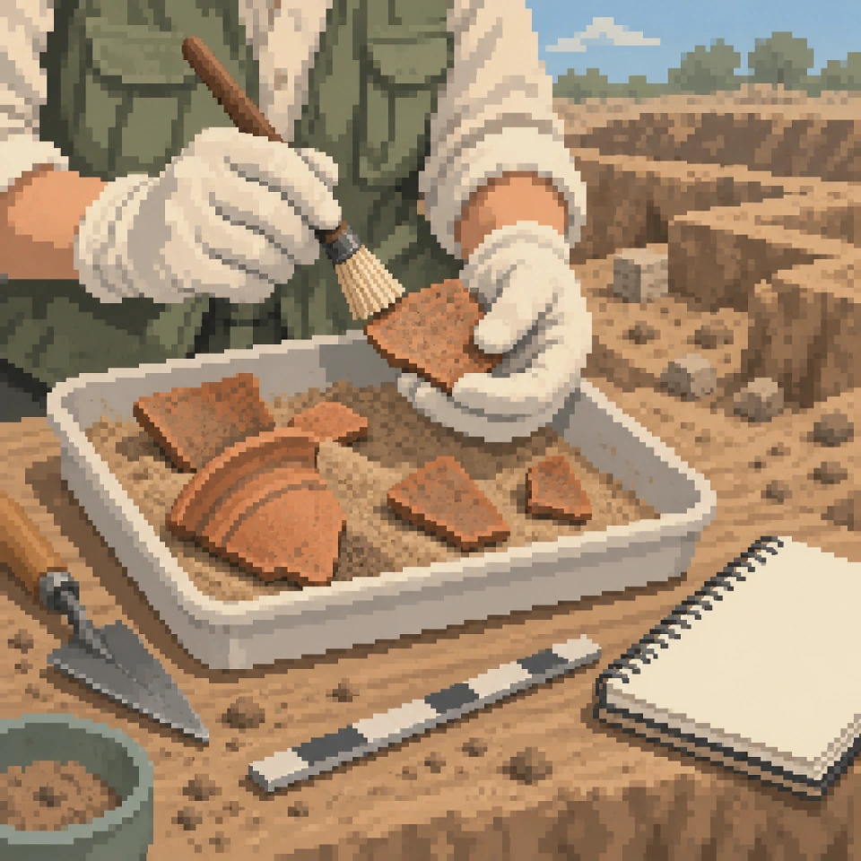
Objects found beside the walls help archaeologists make sense of these overlapping remains. Even an ordinary pottery fragment has a shape, a particular clay composition and traces of how it was made. A specialist uses these to identify the type of vessel and compare it with finds from other excavations. A fragment of broken pottery can thus help establish when a room was in use.
Its precise location matters, too. A pottery fragment on a surviving floor is connected with the room’s use. The same fragment in mixed fill could have arrived with soil brought from elsewhere. The archaeologist therefore marks the find on a plan and records its depth and position relative to walls, floors and neighbouring layers. Once a layer has been removed, it cannot be put back as it was.
These records gradually establish the history of a building: when it was built, which rooms were altered, where a new entrance was made, when the house was abandoned and what was built above it. Plans from neighbouring areas are then compared, revealing which rooms belonged to the same building and how the structures around it changed.
In Tashkent, the rebuilding that followed the 1966 earthquake made this work particularly urgent. Construction was disturbing ancient layers that had to be studied before they disappeared beneath new buildings. In 1967, the Tashkent Archaeological Detachment was established at the initiative of Yahya Gulyamov. Margarita Filanovich took charge in 1974, and in 1978 the detachment became a permanent archaeological expedition.
Research at Shashtepa, Ming Urik, Aktepa and other sites allowed evidence from different parts of the oasis to be connected. The findings from Shashtepa later became the basis for celebrating Tashkent’s 2,200th anniversary.
Shashtepa: a building within a circle
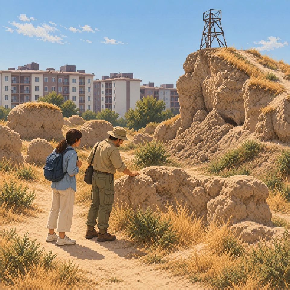
In 2009, Tashkent celebrated its 2,200th anniversary. The archaeological basis for this date came from Shashtepa, beside the Jun Canal in the south of the modern city, in what is now Yangihayot district. Traces of several periods of occupation have been found here. People lived on the site long before the complex associated with the beginning of its urban history.
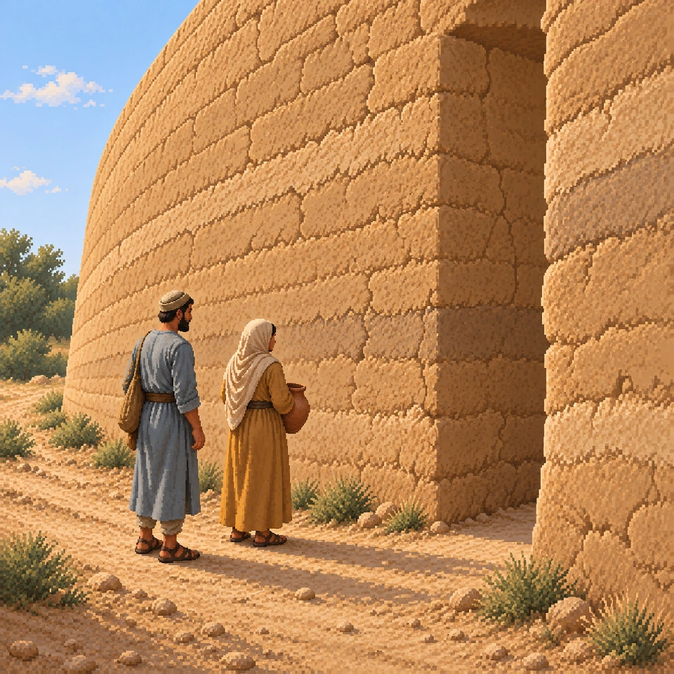
The plan of the large pakhsa and mud-brick building is particularly unusual. A central block with four projecting towers formed a cross shape. Around it ran a circular wall with a vaulted passage. Inside were further narrow, corridor-like rooms. The plan clearly shows how the straight lines of the central part fit within the surrounding ring.
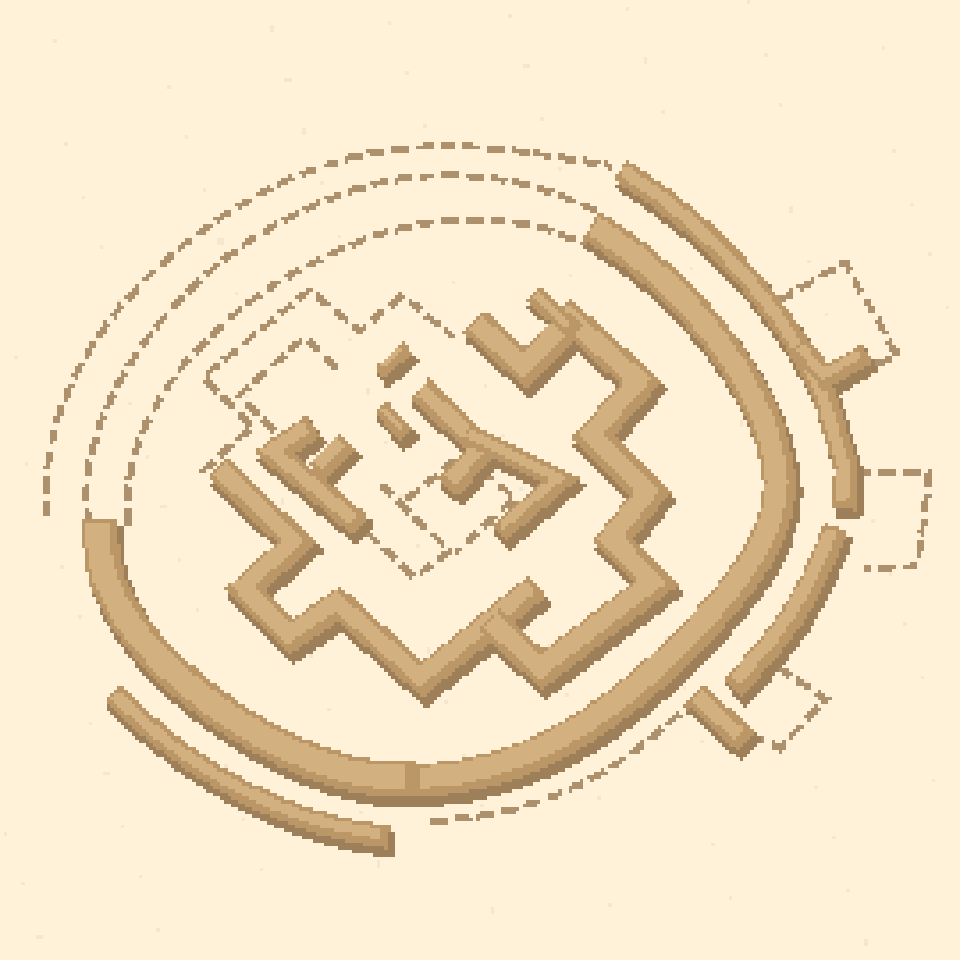
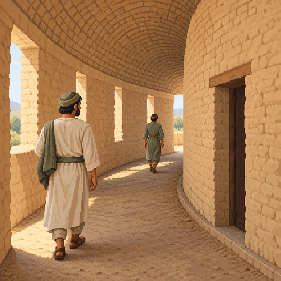
Margarita Filanovich dates the complex’s early phase to the second century BCE. In her interpretation, it began as a temple where fire was venerated and was later used for funerary rites. Other researchers regarded it as a residential building, and its purpose remains debated. It was altered several times and continued to exist until the third century CE. Filanovich links the beginning of Shashtepa’s early urban phase to the construction of this building; that date became the starting point for the anniversary count.
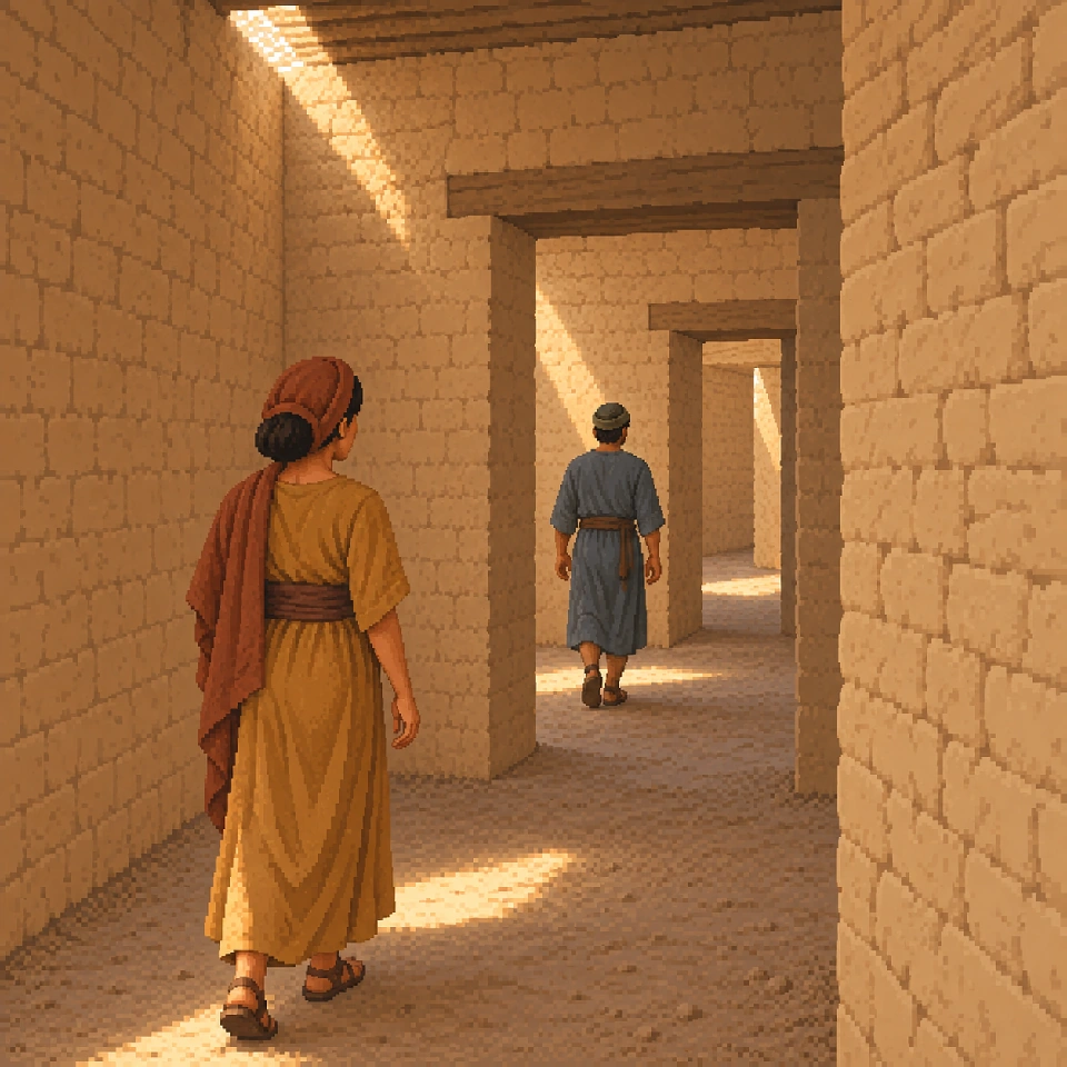
The earliest traces of habitation, the second-century BCE complex, its alterations and its later use belong to different layers. The anniversary date corresponds to one of these phases: the transition to an early urban settlement.
By the time a settlement appeared at Ming Urik, Shashtepa already had a long history. Open land separated these centres within the large oasis.
Fields and orchards between the towns
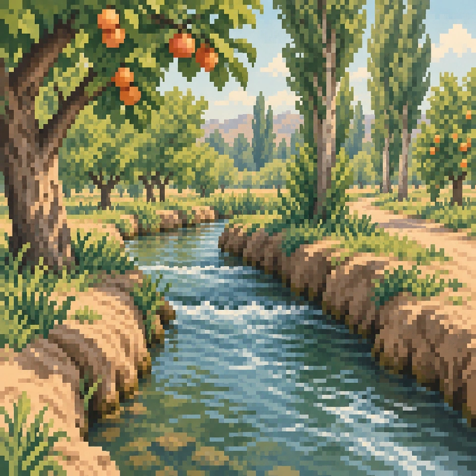
The large oasis in the Chirchiq basin was known as Chach. In Arabic sources, the name appeared as Shash. Rivers and canals supplied water to fields and orchards, with settlements growing nearby. Roads linked them to one another and to neighbouring lands. Major centres grew, while others gradually lost their former importance.
Today, Shashtepa, Ming Urik and Aktepa in Yunusabad all lie within Tashkent. You can travel between them through a continuous built-up area, but the ancient landscape was quite different. Cultivated land, orchards and open ground separated the settlements. Modern apartment blocks have filled the gaps that once lay between these places.
That is why there is more than one place to look for ancient Tashkent. Shashtepa preserves traces of an early urban phase, Ming Urik of a palace centre, and Aktepa of a fortified residence. Their roles within the oasis changed over the centuries.
Medieval written sources name Binkat as the main city of Shash. Its location is associated with the area of Tashkent’s later Old City. For Binkat, geographical accounts add to the archaeological evidence: they list the parts of the city and describe how it was laid out.
Binkat: a city with two suburbs
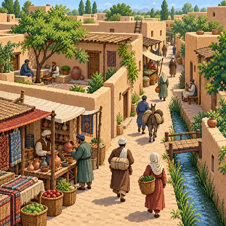
Tenth-century geographers describe Binkat as a city with a citadel, a central urban area and two suburbs, one inner and one outer. Walls surrounded these parts. The palace was in the citadel, and the Friday mosque stood in the main urban area. Most bazaars were concentrated in the inner suburb. Canals crossed both the city and its suburbs, and the accounts also mention ponds.
A citadel is a separately fortified core. The shahristan was the main urban area within the walls; Arabic descriptions also used the word madina. The rabad was the suburb that developed beyond this core. In Binkat, the inner rabad became an important trading and craft district and acquired fortifications of its own. Homes, workshops and bazaars continued to expand beyond the old city boundary.
The name “Tashkent” appears in written sources in the eleventh century. It is many centuries younger than the oasis’s first urban settlements, so the first mention of the familiar name and the beginning of urban life give us different dates.
Inside the residence in Yunusabad
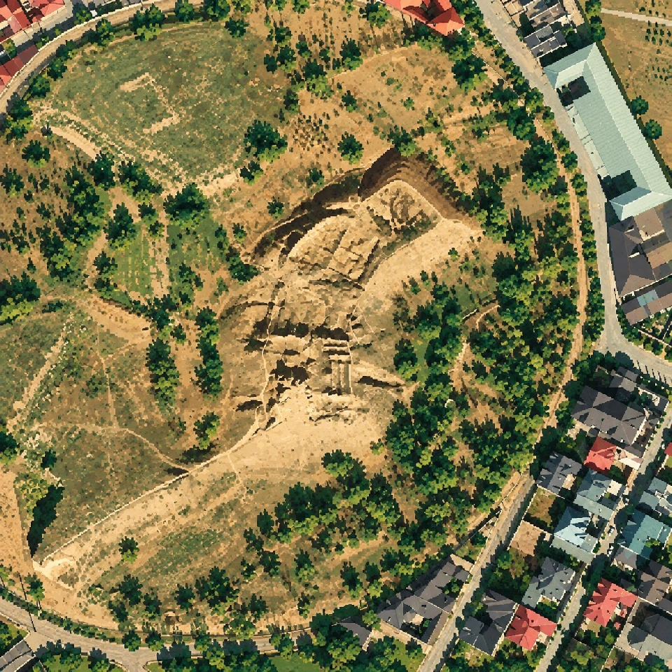
Aktepa in Yunusabad represents a different kind of site: an early medieval fortified residence. A castle stood on a high platform, with a palace complex at its foot. A wall and moat surrounded them. By the seventh to early eighth centuries, a ceremonial complex had taken shape here, its layout reconstructed by archaeologists from the excavations.
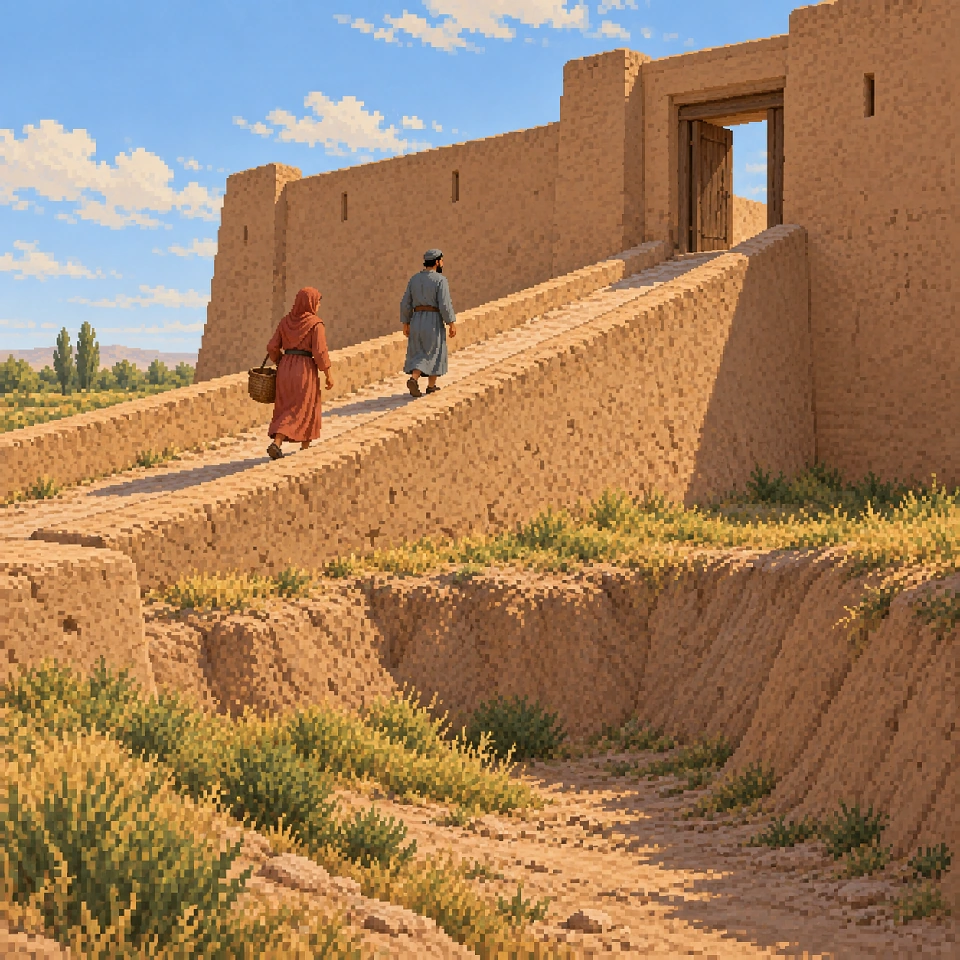
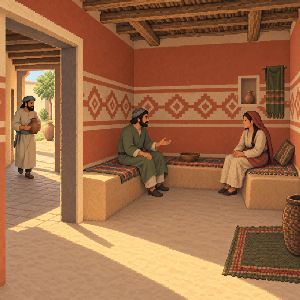
The western part of the complex contained two halls, a corridor and small rooms. Along the hall walls ran sufas — broad, raised platforms of clay that people could sit or lie on. Traces of red paint survived on the walls of one hall; in the other was a carved clay frieze, a horizontal band of ornament.
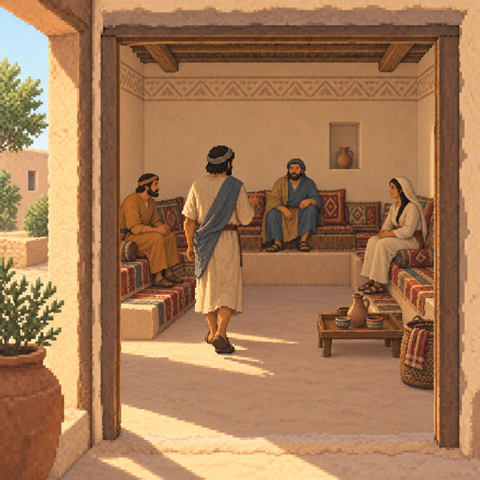
In the eastern part, a courtyard connected to a hall and a corridor. The hall had stepped sufas, with a place of honour opposite the entrance on the room’s main axis. The positions of the entrance and the place of honour show how visitors were received: on entering, they immediately saw where the host or the most important person at the gathering sat.
The castle also had service quarters with storerooms. The fortified complex contained reception rooms, storage areas and spaces for daily life. They are difficult to distinguish in the mound today without a plan: collapsed masonry filled the rooms and obscured the edges of the building.
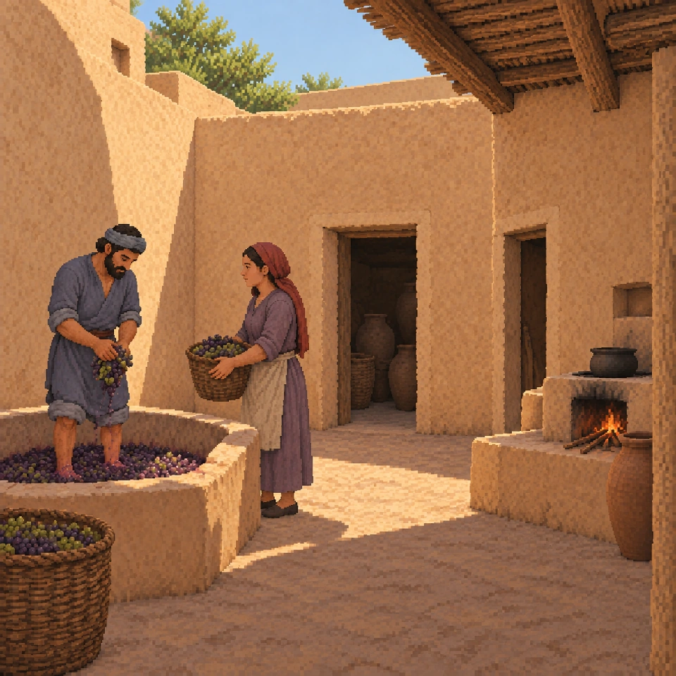
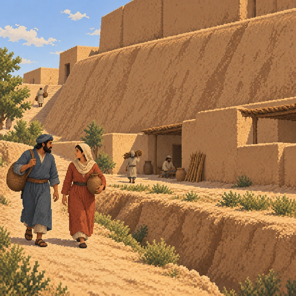
At Kanka, beyond Tashkent, the fortified residence was only part of a large city. Several urban areas lay around it.
Kanka: three shahristans, streets and markets
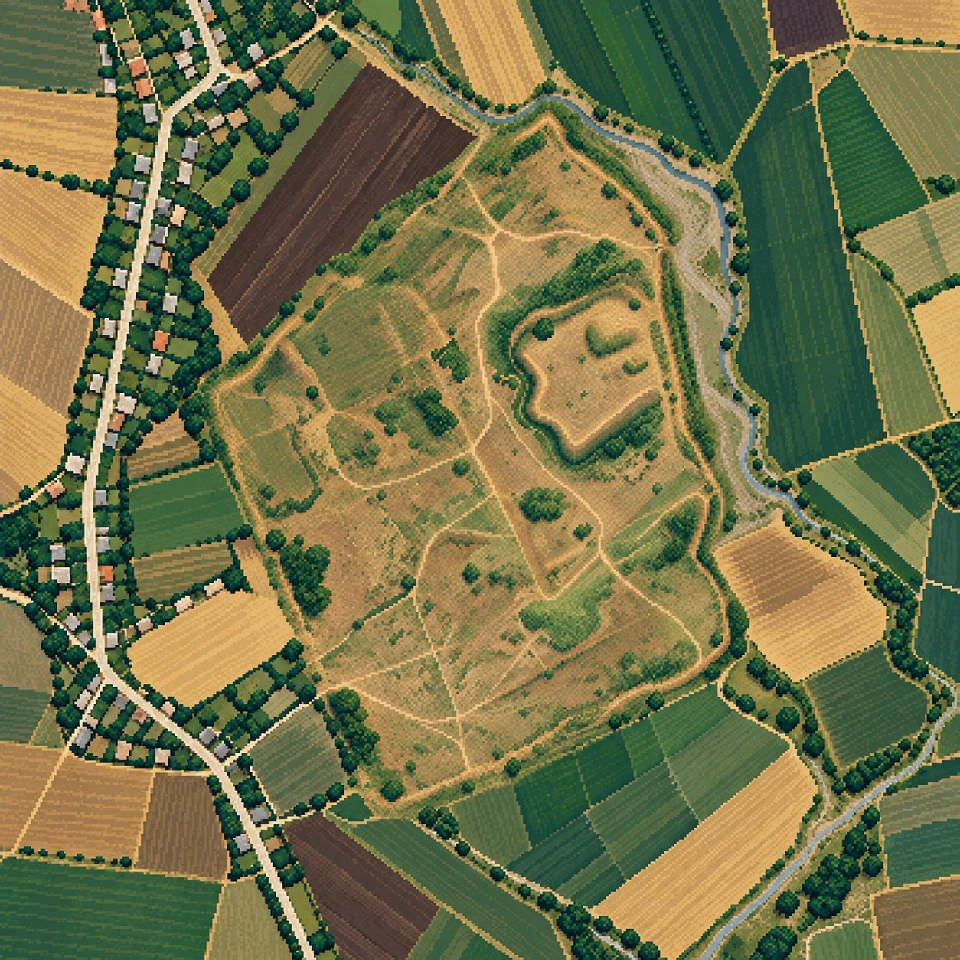
Kanka lies in Akkurgan district of Tashkent region, roughly 70–80 kilometres from Tashkent. The area within its outer fortifications covered about 160 hectares. It was a large city with residential quarters, trading spaces and production areas as well as the ruler’s residence.
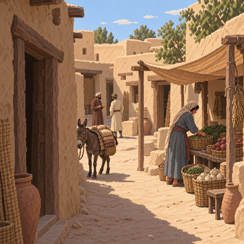
The plan shows a citadel and three shahristans. The citadel stood at the edge of the first urban area and had defences of its own. Other fortified areas lay around it. Their walls do not form three matching concentric circles: the city’s shape was influenced by the terrain and a nearby river channel.
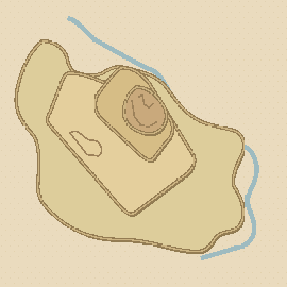
The different lines of walls show how the boundaries of the built-up area changed. This happened as the city contracted as well as expanded. Researchers link the establishment of the second shahristan to a temporary reduction in the city’s area in the early seventh century. Several nested fortifications therefore do not mean that a city expanded steadily outwards from its centre.
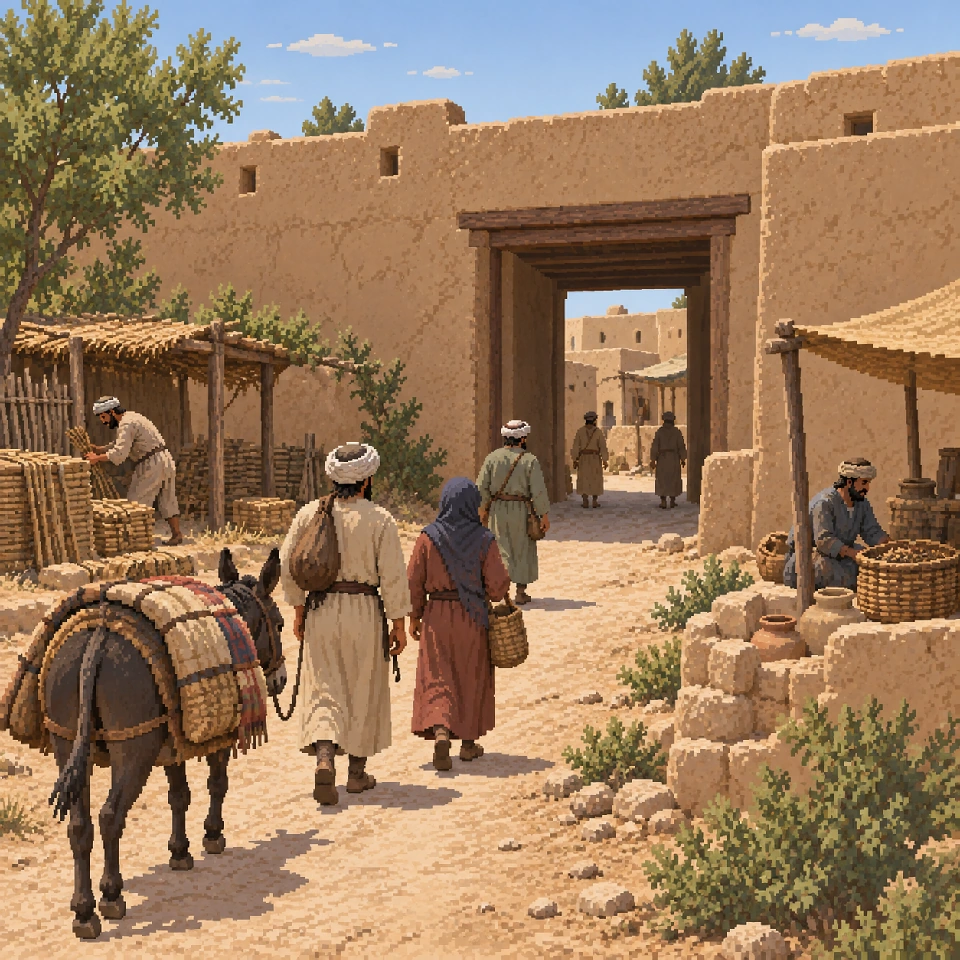
Dense building clusters, a street network and market squares have been traced in parts of the third shahristan. Archaeologists investigated production premises and a large caravanserai, where visiting merchants and their goods were accommodated. Beyond the fortifications lay the rabad, with pottery, leatherworking and metalworking workshops. Excavated structures at Kanka include residential quarters, craft areas and religious buildings from different periods: the city changed with its inhabitants’ occupations and beliefs.
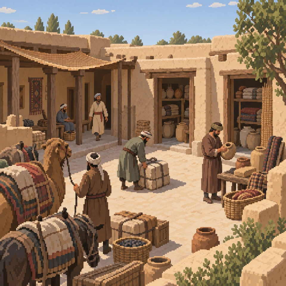
Streets and houses did not fill the whole area evenly. No buildings have been identified in some parts of the outer shahristan. A city wall and the edge of a densely inhabited quarter did not necessarily coincide: open ground could lie between them.
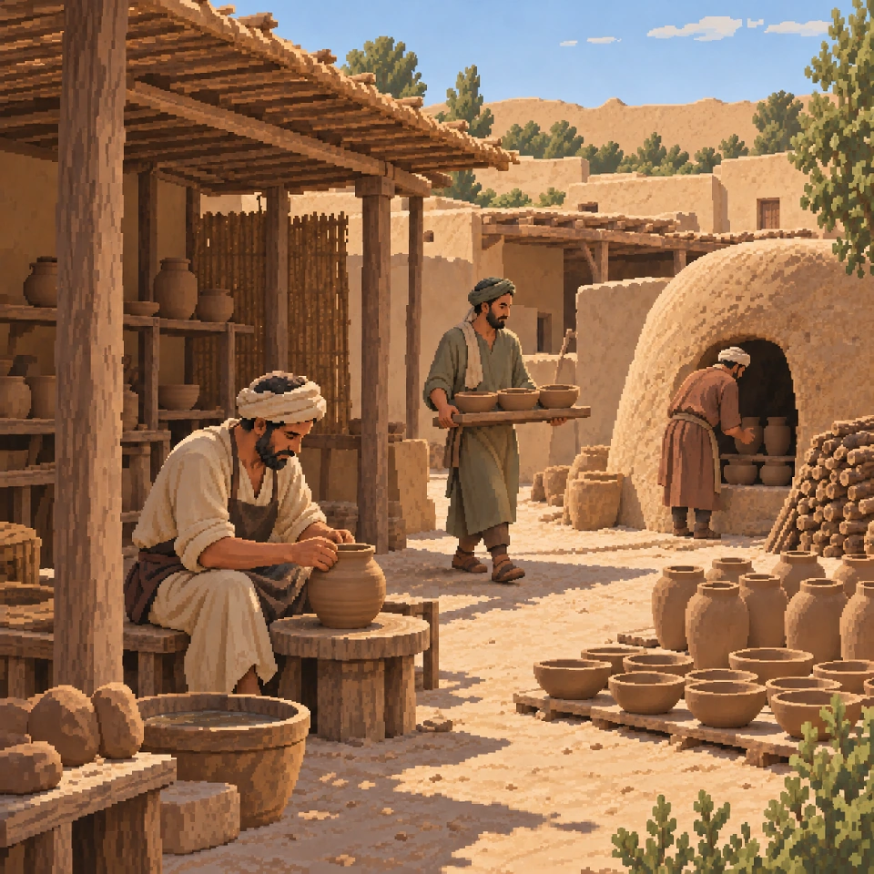
New excavations add details of individual buildings to the overall plan. In a complex investigated in 2021–2022, a corridor more than ten metres long was traced. Part of a carved wooden decoration was found by a large hall, with two underground chambers nearby that the study’s authors interpret as storerooms. The building thus combined a spacious hall, a long passage and separate storage areas.
What to look for on site
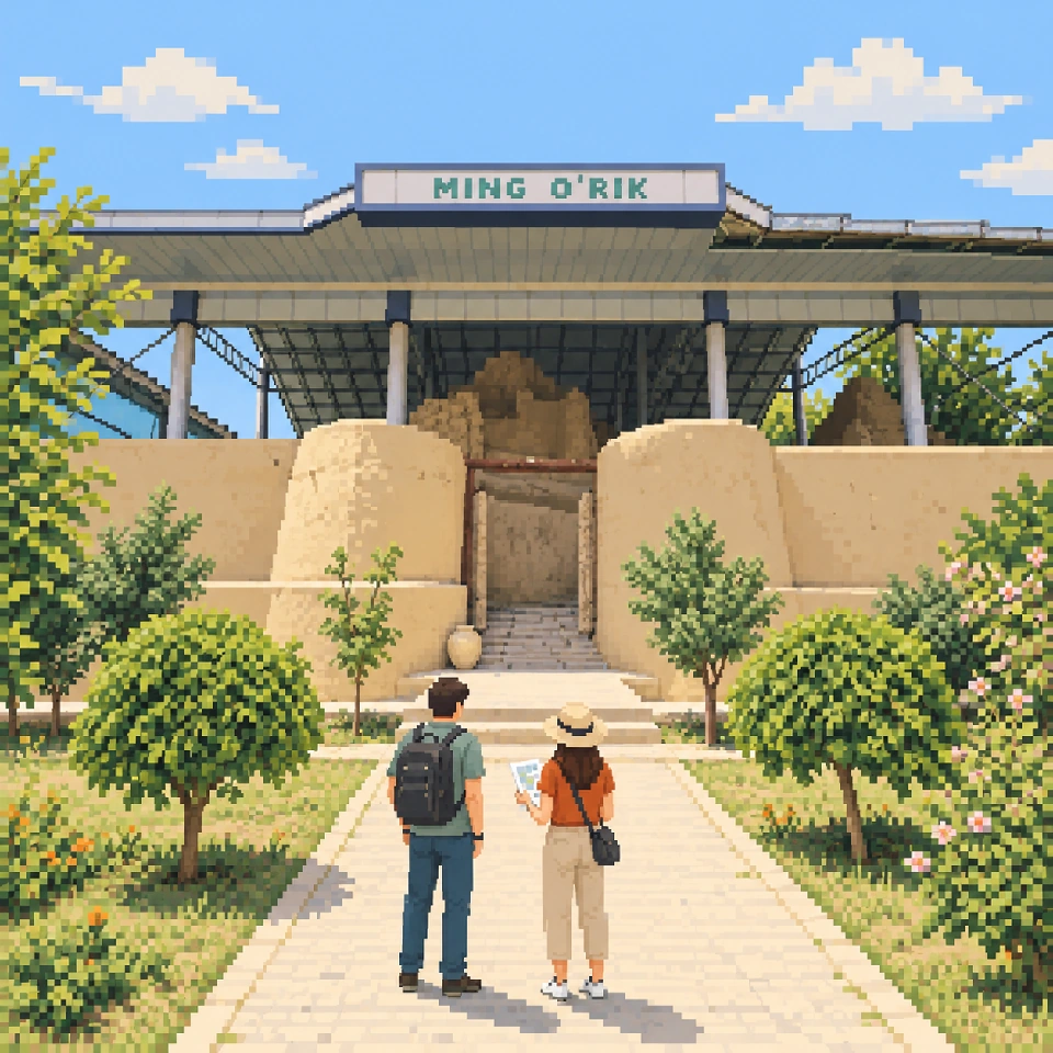
For a first visit, Ming Urik is the easier choice: it is in the city, at 31 Moshtabib Street, and the excavation is sheltered beneath a roof. Kanka requires a separate trip out of town. Before visiting, check the museum’s opening hours and access to the site you have chosen.
At Ming Urik, spend some time looking at one room and comparing it with the plan. Find its edges, follow the passage that leads into it and look at the thickness of the walls. Then look across to the next room. Separate pieces of masonry begin to form a sequence of spaces through which people once walked.
You can ask a member of the museum staff to point out the ancient sections and the masonry strengthened during conservation. This will help distinguish what remains of the building itself from what has been added to protect it. If you have visited Ming Urik, Shashtepa, Aktepa or Kanka, tell us in the comments what can be seen there today.
Sources
- Агентство культурного наследия: Минг Урик
- Минг Урик — история древнего городища в Ташкенте
- Самарканд в истории мировой культуры: дворцовая архитектура Минг Урика и Актепы
- Филанович и др. Археологические исследования Мингурика в 2008–2009 гг. С.178–183
- Getty: earthen materials and building traditions
- Getty: conservation of earthen architecture
- UNESCO Tentative List: Kanka
- NPS: archaeological context and stratigraphy
- NPS: dating sites and artifacts
- АН Узбекистана: вклад М.И.Филанович в изучение наследия Ташкента
- История материальной культуры Узбекистана №43: М.И.Филанович
- Официальная информация о Шаштепе
- ПП-828: 2200-летие Ташкента в сентябре2009
- М. И. Филанович, А. А. Грицина. Новые данные археологии к средневековой истории Ташкента. O‘zbekiston arxeologiyasi №2(33), 2025, с.46–47
- Курманкулов Ж., Болелов С. Б., Утубаев Ж. Р. Древние земледельцы низовьев Сырдарьи. Алматы: Институт археологии им. А. Х. Маргулана, 2021. С. 99
- Г. И. Богомолов, С. Р. Ильясова. К вопросу о зданиях с крестообразной планировкой в Чаче. Известия НАН РК, 2010, № 1, с. 177–183
- Шаштепа: фотография руин в репортаже от 8 апреля 2024 года
- Encyclopaedia Iranica: ČĀČ
- Историческая топография Бинката по средневековым письменным источникам,с.41–42
- Руины Юнусабадской Актепы
- Парадные комплексы Юнусабадской Актепы; по раскопкам С.Р.Ильясовой
- Древний и средневековый город Восточного Мавераннахра, 1990: Юнусабадская Актепа
- Esri World Imagery: Юнусабадская Актепа
- S. Kubaev, N. Yusupova. Archaeological research on the Kanka fortress city: between nomads and farmers. Turkic Studies Journal 6(2),2024,57–73
- Канка: исследования городских территорий и рабадов. Общественные науки в Узбекистане,1991,№9,с.64
- К. Абдуллаев. Археологическое изучение городища Канка (1969–1972). Топографический план, рис. 1, с. 129
- Т. С. Нурулин. О культовой принадлежности памятников древнего Ташкента Шаштепа и Мингурик